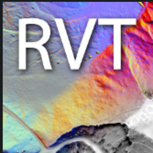
Project QGIS RVT Module (suitable for use with Mac OS) Project Duration: 10 November 2020–27 January 2021
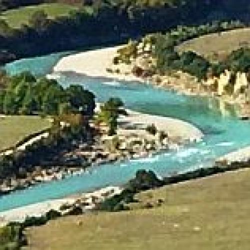
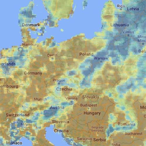
Project Contextualization of EO data for a deeper understanding of river environment changes in Southeast Europe Project Duration: 1 September 2020–29 April 2022 Project Leader: Urša Kanjir, PhD
Project Artificial Intelligence toolbox for Earth Observation Project Duration: 5 May 2020–5 November 2021 Project Leader: dr. Dragi Kocev
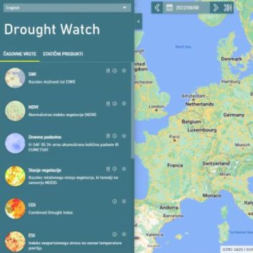
Project Sustainable operation and maintenance of a Drought User Service Project Duration: 5 May 2020–2 November 2020 Project Leader: Žiga Kokalj
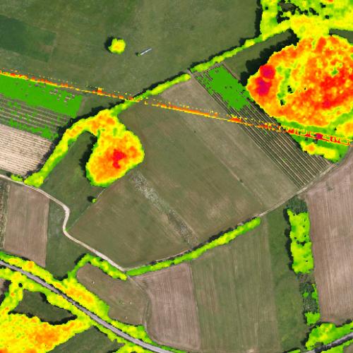
Project Feasibility study and mapping of vegetative landscape structures important for biodiversity and climate change mitigation with remote sensing Project Duration: 9 October 2019–31 July 2020 Project Leader: izr. prof. dr. Žiga Kokalj
Project Overview and testing of a sustainable Drought User Service Project Duration: 23 July 2019–22 November 2019
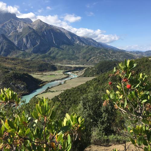
Project Experiencing water environments and environmental changes: An anthropological study of water in Albania, Serbia and Slovenia Project Duration: 1 July 2019–30 June 2022 Project Leader: Nataša Gregorič Bon, PhD
Project Feasibility study and mapping of grassland habitat types with remote sensing with emphasis on separation of intensive and extensive grasslands Project Duration: 27 June 2019–30 September 2020 Project Leader: Tatjana Veljanovski, PhD
Project Automatic orthorectification service for very high-resolution optical satellite data Project Duration: 17 June 2019–16 June 2020 Project Leader: Aleš Marsetič, PhD
Project Governance in the Pacific: A Sepik Pentecostal Movement as a Pacific Form of Grassroots Democracy, Papua New Guinea Project Duration: 1 August 2018–31 July 2020 Project Leader: Tomi Bartole, PhD