Department of Remote Sensing
")
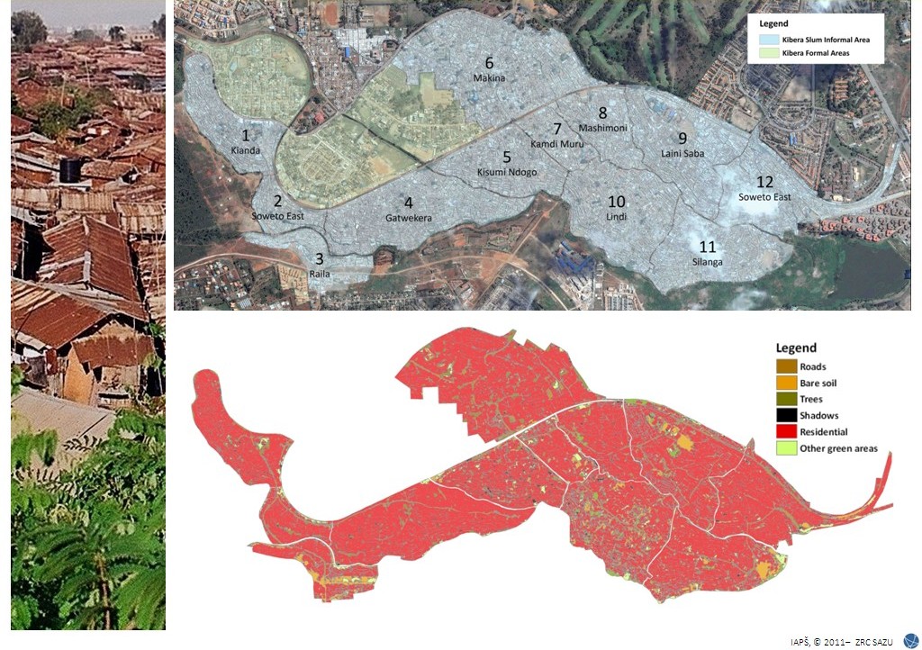
The Remote Sensing Department brings together leading Slovenian experts in the field of remote sensing. We deal with the development and application of machine learning methods in remote sensing, spatial analytics and cartography. We study the automatic registration of satellite images and advanced methods for their classification, paying special attention to the development of new artificial intelligence techniques and modelling of natural and cultural landscapes. In collaboration with other academic groups, we conduct innovative interdisciplinary research in the anthropology of space and place and in archaeology.
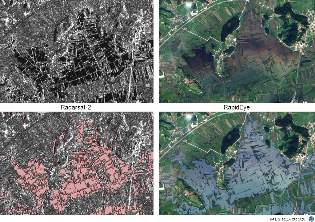
The Remote Sensing Department is also involved in monitoring natural disasters from space. As a local partner for rapid mapping and analysis, we have been involved in all three Slovenian activations of the International Charter 'Space and Major Disasters', including the very first activation of this programme in 2000.
In 2010, eleven partners, including ZRC SAZU, pooled their expertise in the Centre of Excellence for Space Sciences and Technologies (SPACE-SI). ZRC SAZU is represented by its Remote Sensing Department, and Žiga Kokalj is the head of the remote sensing activities there. Some research and applications carried are presented in a brochure (PDF, 15 MB). We are developing and maintaining the data processing chain of the first Slovenian satellite NEMO-HD.
Head of the department: Žiga Kokalj
The main fields of research:
- pre-processing of optical satellite images (radiometric and geometric corrections)
- rapid mapping of the consequences of natural and anthropogenic disasters
- object-oriented image analysis
- small satellites
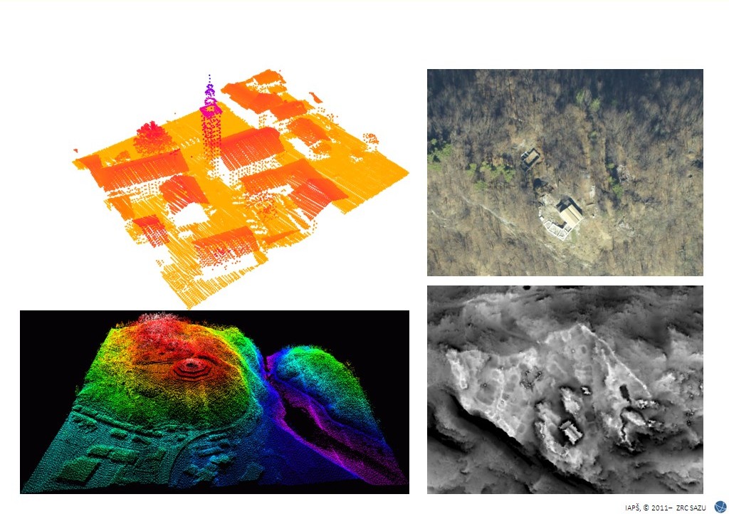
- development of specific algorithms for lidar data processing
- remote sensing applications