QGIS RVT Module (suitable for use with Mac OS)
Principal Investigator at ZRC SAZU
Žiga Kokalj, PhD, assoc. prof.-
Original Title
Izdelava vmesnika RVT za QGIS
-
Acronym
RVT QGIS
Project Team
-
Duration
10 November 2020–27 January 2021 -
Lead Partner
-
Financial Source
(Pushing the Sensors) PTS Consultancy

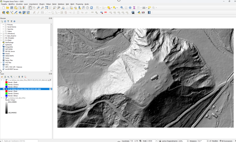
The Relief Visualisation Toolbox (RVT) was developed to help scientists visualise elevation model datasets with a hand-picked selection of techniques that have proven effective in identifying small-scale features. The techniques range from very simple and commonly known (e.g. hillshading, slope) to complex methods that fuse multiple results into a single image (e.g. combined Visualisation for Archaeological Topography, MultiScale Topographic Position). This project partially funded the development of a QGIS plugin, which is free and easy to use.