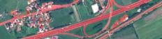
Project NEREIDS - New Service Capabilities for Integrated and Advanced Maritime Surveillance Project Duration: 1 June 2011–31 May 2014 Project Leader: Celestino Gomez, GMV (Spain)
Project Combined high resolution procedures for collection, detection and maintenance of spatial data Project Duration: 1 October 2010–31 March 2012 Project Leader: Tomaž Žagar, PhD, Geodetic Institute of Slovenia
Project Harmonization of object detection on optical satellite images Project Duration: 1 May 2009–30 April 2011
Project Europeanisation and new regionalism on the margins of Europe Project Duration: 1 May 2009–30 April 2012
Project ModeLTER - European Laboratory for Modelling of Landscapes and Territories over the Long Term Project Duration: 1 February 2007–30 November 2011 Project Leader: Associate Prof. Krištof Oštir PhD and Laure Nuninger PhD, University of Franche…
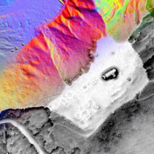
Project Investigation of microrelief structures with airborne lidar Project Duration: 1 July 2011–30 June 2013
Project Relief Visualization Toolbox (RVT) Project Duration: 2 September 2013 Project Leader: Žiga Kokalj, PhD
Project Astronomic background of Mayan architecture and urbanism Project Duration: 1 July 2011–30 June 2014
Project Estimation of population within informal settlement Kibera (Nairobi, Kenya) Project Duration: 1 January 2010