Project Automatic orthorectification service for very high-resolution optical satellite data Project Duration: 17 June 2019–16 June 2020 Project Leader: Aleš Marsetič, PhD
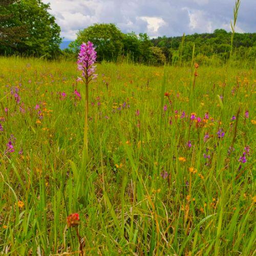
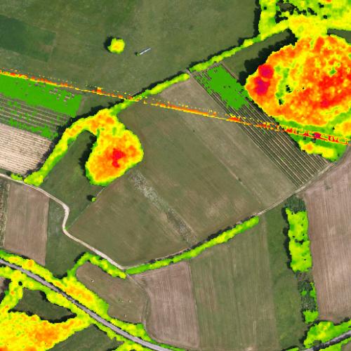
Project Development of system for usage of remote sensing data (incl. feasibility study) – case study to monitor agricultural land (permanent grassland and soil wetness) Project Duration: 6 August 2021–5 February 2023 Project Leader: Tatjana Veljanovski, PhD
Project Land of stećci: multiculturality in the medieval Herzegovina Project Duration: 1 November 2021–31 October 2024 Project Leader: Saša Čaval, PhD Code: J6-3145
Project Multilingual dictionary of geoinformatics Project Duration: 1 September 2021–31 March 2023 Project Leader: Prof. Anka Lisec, PhD Code: V2-2133
Project ROVI – Inovative radar and optical satellite image time series fusion and processing for monitoring the natural environment Project Duration: 1 October 2021–30 September 2024 Project Leader: Prof. Krištof Oštir, PhD Code: J2-3055
Project First Slovene satellite in orbit NEMO-HD and cooperation with SPACE-SI Project Duration: 18 March 2010 Project Leader: Prof. Tomaž Rodič, PhD
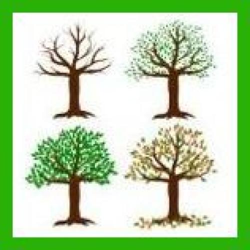
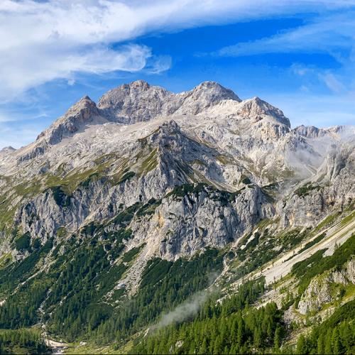
Project Renewal of regional distribution of landscape types and outstanding landscapes in Slovenia and their digitization Project Duration: 1 October 2021–30 September 2024 Project Leader: Prof. Mojca Golobič, PhD Code: V5-2135
Project Automatic detection of archaeological features from lidar data using machine learning techniques (TII ADAF) Project Duration: 1 November 2021–31 October 2023 Project Leader: Antony Corns
Project Feasibility study and mapping of vegetative landscape structures important for biodiversity and climate change mitigation with remote sensing Project Duration: 9 October 2019–31 July 2020 Project Leader: izr. prof. dr. Žiga Kokalj