Project SILIS - Satellite images for a Slovenian land information system Project Duration: 15 April 2015–14 April 2017 Project Leader: Žiga Kokalj, PhD
Project Automatic generation of true orthoimages from very high-resolution data Project Duration: 1 May 2017–30 April 2019 Project Leader: Aleš Marsetič, PhD
Project Environmental Care in Anthropo(s)cenic Landscapes: Voices and Practices from Albania and Serbia Project Duration: 1 January 2025–31 December 2027 Project Leader: Nataša Gregorič Bon, PhD ARIS Project ID: J6-60102
Project Governance in the Pacific: A Sepik Pentecostal Movement as a Pacific Form of Grassroots Democracy, Papua New Guinea Project Duration: 1 August 2018–31 July 2020 Project Leader: Tomi Bartole, PhD
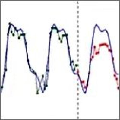
Project Methodology of Multitemporal Multisensor Satellite Image Analysis Project Duration: 1 July 2018–30 June 2022 Project Leader: Prof. dr. Krištof Oštir, Faculty of Civil and Geodetic Engineering, UL ARIS Project ID: J2-9251