
SEARCH

Project
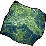
Automatic orthorectification service for very high-resolution optical satellite data
Project Duration: 17 June 2019–16 June 2020
Project Leader: Aleš Marsetič, PhD
Project
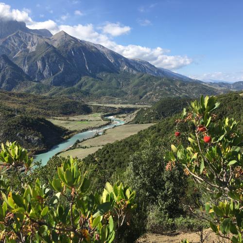
Experiencing water environments and environmental changes: An anthropological study of water in Albania, Serbia and Slovenia
Project Duration: 1 July 2019–30 June 2022
Project Leader: Nataša Gregorič Bon, PhD


Programme
Earth Observation and Geoinformatics
Programme Duration: 1 January 2019–31 December 2025
Programme Leader: Prof. Krištof Oštir, PhD
ARIS Project ID: P2-0406