Earth Observation and Geoinformatics
Principal Investigator at ZRC SAZU
Žiga Kokalj, PhD, assoc. prof.-
Original Title
Opazovanje Zemlje in geoinformatika
-
Acronym
EOGeo
Project Team
Žiga Kokalj, PhD, assoc. prof. , Nejc Čož, PhD, Liza Stančič, PhD-
ARIS Project ID
P2-0406
-
Duration
1 January 2019–31 December 2025 -
Link to SICRIS
17645 -
Lead Partner
University of Ljubljana (Faculty of Civil and Geodetic Engineering)
-
Programme Leader
-
Financial Source
Slovenian Research and Innovation Agency

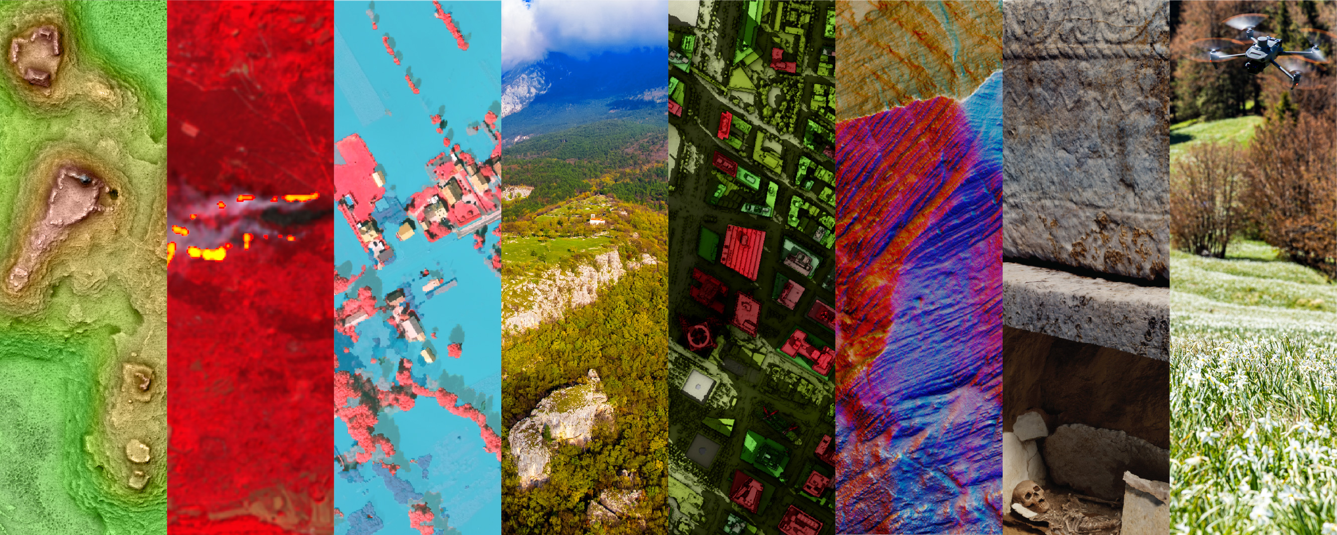
The technologies for geospatial data acquisition using various platforms (aeroplanes, unmanned aerial vehicles – UAVs, satellites, etc.) have become a daily tool in a wide variety of studies and applications: from archaeology, biology and ecology, through geography, spatial planning, meteorology, geology, disaster and risk management, agriculture and forestry to geodesy. The rapid development of sensors, new platforms for capturing data from the air (UAVs), the increasing number of satellites, and open access to spatial data, have led to a revolution in the field of Earth observation and geoinformatics. Furthermore, the complexity of the natural and built environment requires new approaches in geospatial data modelling in order to provide useful information for spatial decision-making. 3D/4D geospatial data modelling has become among the principal research topics worldwide.
Within the program, we are establishing an environment for the most advanced research in processing and use of (satellite and aerial) images and point clouds, linking these with other spatial data and providing advanced geospatial solutions. We are filling the large gap that currently exists in Slovenia and in the wider region in the emerging geospatial research field. The main topics covered are at the front of research and innovation at a global level:
- Harmonization of data from remote sensing systems (satellites, aircraft, including UAVs);
- Time series analyses for identification of patterns in the dynamics of the surface (vegetation, urban areas, waters, etc.), identification of spatial and temporal change patterns;
- Integration of remote sensing data with other spatial data (mobile and static terrestrial systems for spatial data acquisition, in-situ data);
- 3D/4D spatial data modelling (vector data models for location-based services, simulations of spatial processes and spatial decision making);
- Derivation of metric and semantic information from various spatial datasets and semantic enrichment of 3D/4D city and landscape models;
- The use of geospatial data in numerous studies and the derivation of geospatial information in spatial decision-making processes.
The program is organised into work packages, which are linked and organised as a holistic chain from geospatial data acquisition, modelling to its use and applications.