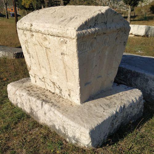
SEARCH
Project
High-resolution drought monitoring based on satellite and ground data
Project Duration: 1 July 2018–30 June 2021
Project Leader: Žiga Kokalj, PhD
ARIS Project ID: J6-9395
Project
Methodology of Multitemporal Multisensor Satellite Image Analysis
Project Duration: 1 July 2018–30 June 2022
Project Leader: Prof. dr. Krištof Oštir, Faculty of Civil and Geodetic Engineering, UL
ARIS Project ID: J2-9251
Publication
Odraščanje v Južni KorejiFeministične etnografije transgresije
Prostor, kraj, čas 17
Year: 2019
Author: Aljoša Pužar