

SEARCH


Project
Investigation of microrelief structures with airborne lidar
Project Duration: 1 July 2011–30 June 2013
Project
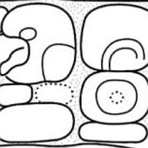
Archaeological Reconnaissance in Southeastern Campeche, Mexico
Project Duration: 1 February 1996
Project Leader: Prof. Ivan Šprajc, PhD

Project
Discovering secrets of Kobarid and surroundings
Project Duration: 1 January 2007–31 December 2007
Project
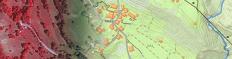
SILIS - Satellite images for a Slovenian land information system
Project Duration: 15 April 2015–14 April 2017
Project Leader: Žiga Kokalj, PhD