

SEARCH


Project
Applying Reactive Twins to Enhance Monument Information Systems
Project Duration: 1 January 2025–31 December 2027
Project Leader: Luca PEZZATI, PhD
ARIS Project ID: 101188009
Project
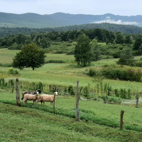
A Patch of Land: Re-considering Work as a Life-Sustaining Practice in the Post-Socialist Semi-Periphery Through Intergenerational Childhood Memories
Project Duration: 10 June 2025–30 June 2026
Project
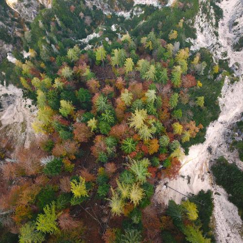
Earth observation data fusion for forest mapping
Project Duration: 6 December 2024–6 June 2026
Project
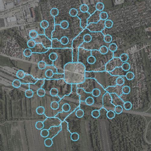
Geospatial Information Technologies for Resilient and Sustainable Society (GeoAI)
Project Duration: 1 July 2025–30 June 2028
Project Leader: Anka Lisec, PhD
5
MAR
08:50
Event
Multimodal Research Methodologies with Children and Youth
March 5, 2026 at 08:50
Gosposka and Križevniška Halls at ZM GIAM ZRC SAZU, Gosposka 16, 1000 Ljubljana, Slovenia

News
What Can Eels Teach Us about Our Planet?
Planetary Eel, the New ERC Synergy Project at ZRC SAZU
NOV 14, 202527
MAY
11:00

Project
Georeferencing of the aerial photo archive
Project Duration: 25 March 2024–1 December 2025
Project Leader: Aleš Marsetič
ARIS Project ID: C2562 – 24 – 000014