Earth observation data fusion for forest mapping
Principal Investigator at ZRC SAZU
Urša Kanjir, PhD-
Original Title
EO4fus: Združevanje podatkov opazovanja Zemlje za kartiranje gozdov
-
Acronym
EO4fus
Project Team
Aleš Marsetič, PhD, Nina Krašovec, Tatjana Veljanovski, PhD-
Duration
6 December 2024–6 June 2026 -
Lead Partner
-
Financial Source
European Space Agency (ESA)
Partners
The Slovenian Forestry Institute
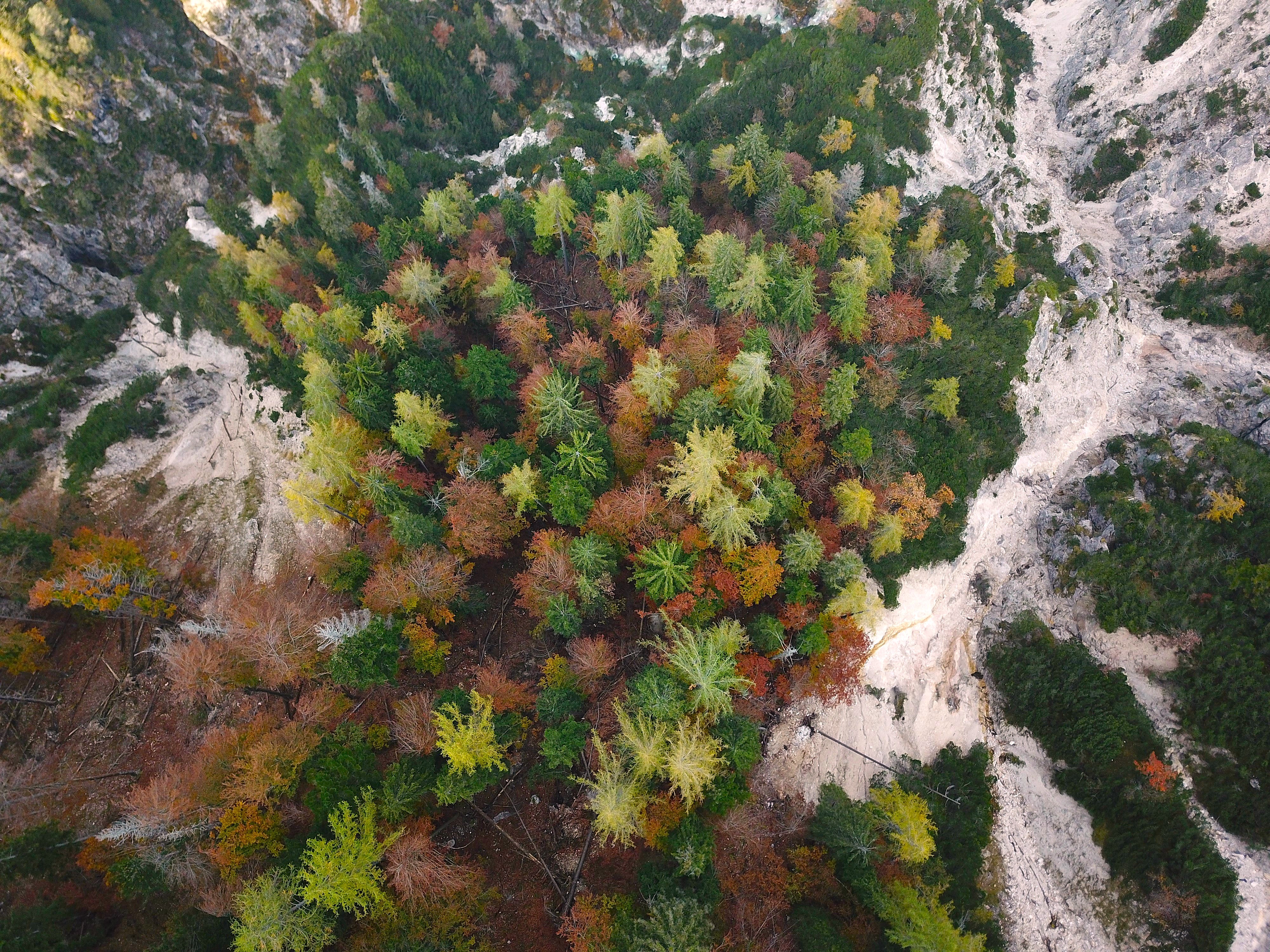
Forests are vital to ecological, economic and cultural systems, and their effective management depends on accurate measurements. The EO4fus project aims to develop a novel method for mapping forest resources by fusing Sentinel-2 time series, national LiDAR data, and in-situ forest plot data. We will therefore combine the strengths of three complementary sources: Sentinel-2 time series for detailed tree species classification, nationwide LiDAR scans with sufficient point density for in-depth structural analysis, and extensive ground-truth data from national forest inventories, which are essential for training data-intensive deep learning models. This data fusion will significantly improve the accuracy of forest monitoring, support sustainable forest management and be in line with key European and global environmental objectives. The approach contributes to EU-wide forest monitoring targets, supports SDG15, LULUCF and the European Green Deal, and improves Copernicus forest indicators such as tree cover, forest type and connectivity. By demonstrating the method in Slovenia, EO4fus creates a basis for scalable implementation across the EU and potentially worldwide.