

SEARCH
Project
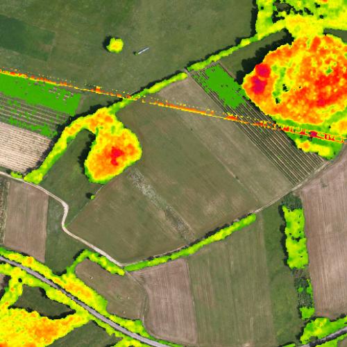
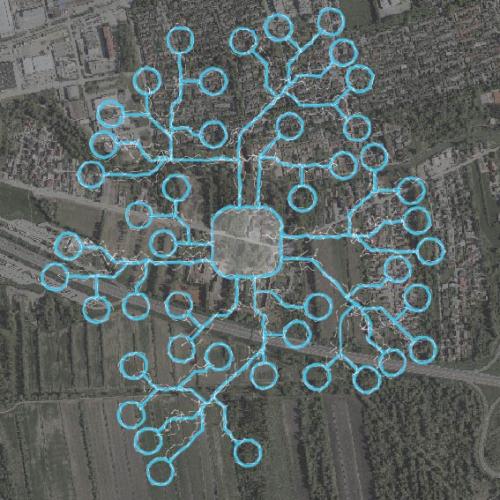
Feasibility study and mapping of vegetative landscape structures important for biodiversity and climate change mitigation with remote sensing
Project Duration: 9 October 2019–31 July 2020
Project Leader: izr. prof. dr. Žiga Kokalj
Project
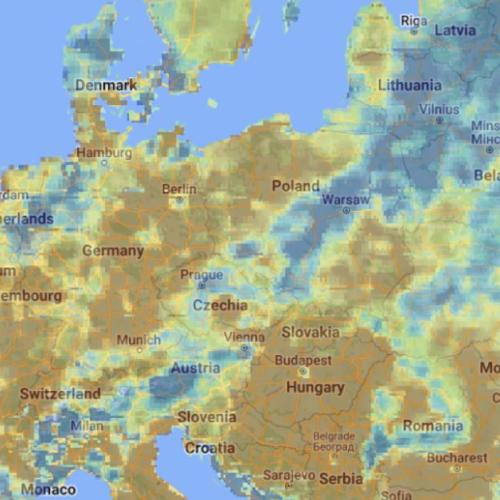
Overview and testing of a sustainable Drought User Service
Project Duration: 23 July 2019–22 November 2019

Project
Artificial Intelligence toolbox for Earth Observation
Project Duration: 5 May 2020–5 November 2021
Project Leader: dr. Dragi Kocev
Project
A Patch of Land: Re-considering Work as a Life-Sustaining Practice in the Post-Socialist Semi-Periphery Through Intergenerational Childhood Memories
Project Duration: 10 June 2025–30 June 2026
Project
Earth observation data fusion for forest mapping
Project Duration: 6 December 2024–6 June 2026
Project
Geospatial Information Technologies for Resilient and Sustainable Society (GeoAI)
Project Duration: 1 July 2025–30 June 2028
Project Leader: Anka Lisec, PhD
Project
Development of methodology and indicators for landscape monitoring
Project Duration: 1 September 2025–29 February 2028
Project Leader: doc. dr. Nadja Penko Seidl
27
MAY
11:00
Project
Georeferencing of the aerial photo archive
Project Duration: 25 March 2024–1 December 2025
Project Leader: Aleš Marsetič
ARIS Project ID: C2562 – 24 – 000014