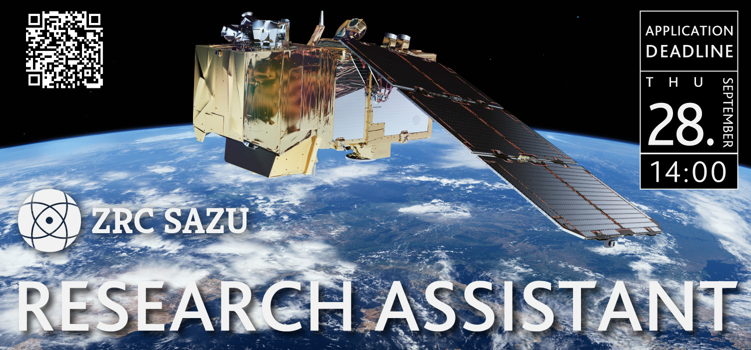
Research Assistant 2023

Are you ready to work on archaeological questions using the latest geoinformation technology?
Are you interested in data analytics, the acquisition and processing of old aerial and satellite imagery, the creation of three-dimensional models from photographic datasets, the production of online cartographic stories, and the programming of user interfaces? Take the opportunity to apply for the vacancy!
Job duties
- data analytics, report production
- acquisition and processing of satellite imagery
- creation of an automatic orthorectification procedure with deep learning
- creation of a website using ArcGIS online tools
- other tasks as directed by the supervisor
We offer
- a position in a successful research team and a stimulating environment where employees are constantly in touch with the latest developments
- topical and attractive assignments that encourage staff to develop their own research interests
- an open, flexible and inclusive working environment that allows for continuous learning and development
- a fixed-term contract with a 3-month probationary period
- flexible working hours with the possibility of occasional home working
- training, professional and personal development
- care for employees' health and well-being at work
We expect
- knowledge of Python programming
- knowledge of the rasterio and geopandas libraries
- preferably experience with deep learning algorithms and relevant platforms (e.g. PyTorch...)
- knowledge of the main properties of spatial data and databases
- knowledge of spatial data processing and analysis
- active knowledge of the English language
- a desire to have a real understanding of loosely defined problems
- self-initiative in identifying problems and improving solutions, precision, efficiency, eagerness to learn, responsibility
- enthusiasm for quality
- ability to work as part of a team
- good communication skills
Required level of education
Master's degree in Geodesy, Geography, Computer Science and Informatics, or Electro engineering.
Form of employment
Full-time, fixed-term until 30.9.2025.
Salary
The minimum salary as stated in the collective agreement and according to the classification scheme is EUR 1.606,68 gross/month.
Application deadline is 28. September 2023 at 2pm, CEST. Send your applications to kadrovska(at)zrc-sazu.si. All applications will be treated confidentially.
Send a CV, including your knowledge, skills and competences, and a motivation letter on why you want to conduct research in the fields of Earh Observation and geoinformatics.
The Department of Remote Sensing brings together leading Slovenian experts in the development of satellite image processing techniques and airborne lidar data. They work in particular on automatic registration, artificial intelligence techniques and modelling. They generate innovative sets of variables, together with statistical evaluation of their meaning, study cognitive cartographic techniques and modelling of cultural landscapes. Together with the Department of Anthropological Studies, they conduct innovative interdisciplinary research in the fields of anthropology of space and archaeology, mainly in Papua New Guinea, Albania, Bosnia and Herzegovina, Serbia and Central America.
We value responsibility, collaboration, transparency, motivation and results.
More information: Associate Professor Žiga Kokalj
e: ziga.kokalj(at)zrc-sazu.si
t: +38614706458