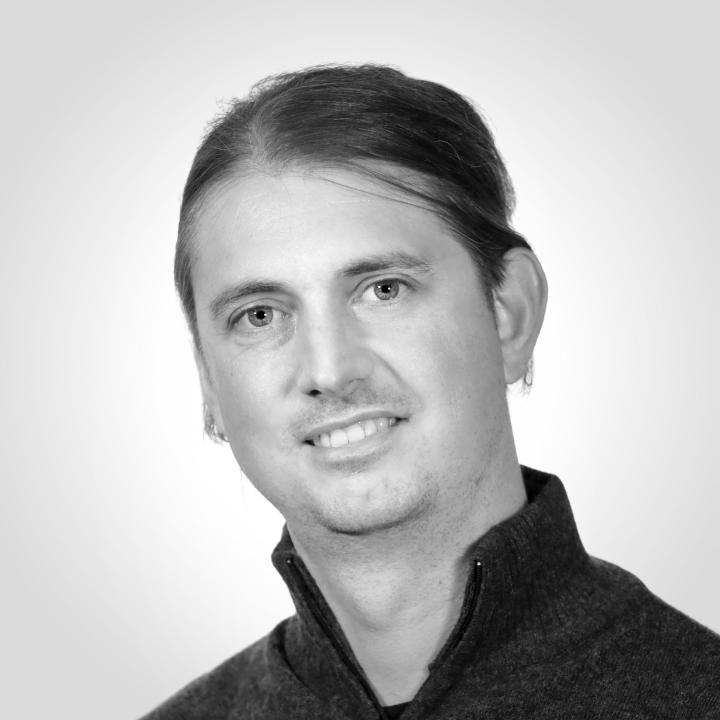
Research Associate, BSc of Geodesy
+386 1 4706 494
ales.marsetic@zrc-sazu.si
His main research interest are photogrammetric applications in satellite remote sensing. Besides photogrammetry (orthorectification, digital surface model generation) his field of work encompasses also the registration and processing of optical satellite imagery, spatial analysis and processing of laser scanning data (lidar). He has expertise in the automatization of processes involving satellite data pre-processing with innovative models that have been used, among other things, in the STORM processing chain.
He also participates in the management and data processing of the first Slovenian NEMO-HD satellite. He is responsible for the development and implementation of algorithms for radiometric and geometric pre-processing of satellite images and videos.
In addition to basic research, he successfully uses his knowledge of geodesy, in other areas of research. He has participated in five archaeological expeditions in the Mexican state of Campeche, which have been successfully led for years by prof. dr. Ivan Šprajc. In the field work, he is responsible for measurements and mapping of archaeological sites and the generation and 3-dimensional visualizations of terrain data and the architectural heritage of the Mayan civilization.
He is currently working on several projects in the field of remote sensing and GIS, with special emphasis on automatic satellite data registration processes and products generation.
-
MARSETIČ, Aleš. Robust automatic generation of true orthoimages from very high-resolution panchromatic satellite imagery based on image incidence angle for occlusion detection. IEEE journal of selected topics in applied earth observations and remote sensing. 2021, 14: 3733-3749.
-
ŠPRAJC, Ivan, DUNNING, Nicholas P., ŠTAJDOHAR, Jasmina, HERNÁNDEZ GÓMEZ, Quintin, CHATO LÓPEZ, Israel, MARSETIČ, Aleš, BALL, Joseph W., DZUL GÓNGORA, Sara, ESPARZA OLGUÍN, Octavio, FLORES ESQUIVEL, Atasta, KOKALJ, Žiga. Ancient Maya water management, agriculture, and society in the area of Chactún, Campeche, Mexico. Journal of anthropological archaeology. 2021, 61, 101261: 1-21.
-
MARSETIČ, Aleš, PEHANI, Peter. Towards sub-pixel automatic geometric corrections of very-high resolution panchromatic satellite data of urban areas. Remote sensing. 2019, 11, 9: 1-21.
-
PEHANI, Peter, ČOTAR, Klemen, MARSETIČ, Aleš, ZALETELJ, Janez, OŠTIR, Krištof. Automatic geometric processing for very high resolution optical satellite data based on vector roads and orthophotos. Remote sensing. 2016, 8, 4.
-
MARSETIČ, Aleš, OŠTIR, Krištof, KOSMATIN FRAS, Mojca. Automatic orthorectification of high-resolution optical satellite images using vector roads. IEEE transactions on geoscience and remote sensing. 2015, 53, 11: 6035-6047.
-
MARSETIČ, Aleš, KOKALJ, Žiga, OŠTIR, Krištof. Vpliv stiskanja JPEG2000 z izgubami na klasifikacijo posnetkov WorldView-2 = Effects of lossy JPEG2000 compression method on WorldView-2 image classification. Geodetski vestnik. 2012, 56, 2: 275-289.
-
MARSETIČ, Aleš, OŠTIR, Krištof. Izdelava digitalnega modela površja in ortopodob iz stereo posnetkov Ikonos, zajetih v istem preletu = Digital surface model and ortho-images generation from Ikonos in-track stereo images. Geodetski vestnik. 2010, 54, 3: 417-448.
-
MARSETIČ, Aleš, OŠTIR, Krištof. Uporaba satelitskih posnetkov SPOT za izdelavo ortopodob = Application of SPOT satellite imagery for orthoimage generation. Geodetski vestnik. 2007, 51, 1: 69-84.
Centre of Excellence Space-SI (center of excellence • March 18, 2010 - December 31, 2018)
Automatic orthorectification service for very high-resolution optical satellite data (research project • June 17, 2019 - June 16, 2020)
Automatic generation of true orthoimages from very high-resolution data (postdoctoral research project • May 1, 2017 - April 30, 2019)
The Chactún Regional Project: Study of an Archaeological Landscape in the Central Maya Lowlands (research project • January 1, 2016 - December 31, 2018)
BSc of Geodesy, Faculty of Civil and Geodetic Engineering, University of Ljubljana, 2005
PhD of Geodesy, Faculty of Civil and Geodetic Engineering, University of Ljubljana, 2015