Publication
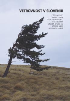
Vetrovnost v Sloveniji
Year: 2009
Authors: Renato Bertalanič, Jure Cedilnik, Gregor Gregorič, Jože Rakovec, Gregor Skok, Mark Žagar, Nedjeljka Žagar
Authors: Renato Bertalanič, Jure Cedilnik, Gregor Gregorič, Jože Rakovec, Gregor Skok, Mark Žagar, Nedjeljka Žagar
