Project ArchaeDyn – ACI Espaces et Territoires Project Duration: 1 January 2005–31 December 2007 Project Leader: Francois Favory, Université de Franche-Comté (France)
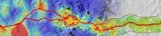
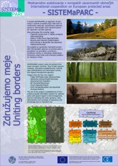
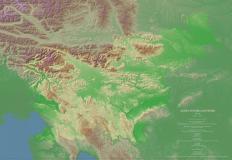
Project Interreg III B - SISTEMaPARC Project Duration: 1 January 2004–31 December 2006 Project Leader: Elmar Csaplovics, Universitiy of Dresden (Germany)
Project Mundo Maya Sustainable Tourism Program Project Duration: 1 January 2004–31 December 2005 Project Leader: Vince Gaffney, University of Birmingham (GB)
Project Aquadapt - WP 2 and 5 Project Duration: 1 January 2002–31 December 2004 Project Leader: Andrej Mihevc (IZRK, ZRC SAZU)
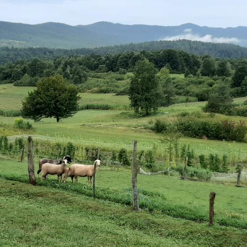
Project A Patch of Land: Re-considering Work as a Life-Sustaining Practice in the Post-Socialist Semi-Periphery Through Intergenerational Childhood Memories Project Duration: 10 June 2025–30 June 2026