Interreg III B - SISTEMaPARC
Principal Investigator at ZRC SAZU
Asst. Prof. Tomaž Podobnikar, PhD-
Original Title
INTERREG III B CADSES – SISTEMaPARC – Spatial Information Systems for Transnational Environmental Management of Protected Areas and Regions in CADSES
Project Team
Žiga Kokalj, PhD, Prof. Krištof Oštir, PhD, Peter Pehani-
Duration
1 January 2004–31 December 2006 -
Project Leader
Elmar Csaplovics, Universitiy of Dresden (Germany)
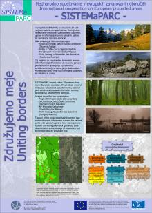
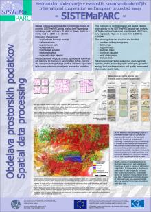
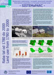
The transnational scope of the project activities will allow an interconnected application research and promote development strategies concerning the extension of the operability of cross-border networks as a precondition for establishing transnational linkages. Our task is cooperation in the strategy of optimal solutions at environment development. We are designing internet tools for geographical information systems (GIS) and data homogenisation. In the first part of the project the most important data are historical maps like Austrian military map from 1763 to 1787 and the 19th century Franciscan cadastre . We are also geocoding, analysing the data and homogenising overborder spatial data. We are also dealing with national park’s spatial datasets on overboreder areas. We are going to work with interoperability of spatial databases and applications of internet GIS.
More information:


