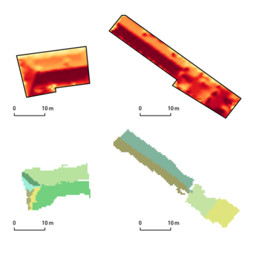
Project Methodology of Multitemporal Multisensor Satellite Image Analysis Project Duration: 1 July 2018–30 June 2022 Project Leader: Prof. dr. Krištof Oštir, Faculty of Civil and Geodetic Engineering, UL Code: J2-9251
Publication Hapësira mospërputhjesh Etnografi hapësire dhe vendi në fshatin Dhërmi/Drimades, Shiqipëria e Jugut Year: 2015 Author: Nataša Gregorič Bon
Publication Vizuelizacija rasterskih podataka laserskog skeniranja iz zraka Prostor, kraj, čas 16 Year: 2018 Authors: Ralf Hesse, Žiga Kokalj, Admir Mulahusić Regular price17.00 €Online price15.30 €ONLINE BOOKSTORE
Project Automatic generation of true orthoimages from very high-resolution data Project Duration: 1 May 2017–30 April 2019 Project Leader: Aleš Marsetič, PhD
Project Experiencing water environments and environmental changes: An anthropological study of water in Albania, Serbia and Slovenia Project Duration: 1 July 2019–30 June 2022 Project Leader: Nataša Gregorič Bon, PhD
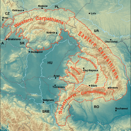
Project Contextualization of EO data for a deeper understanding of river environment changes in Southeast Europe Project Duration: 1 September 2020–29 April 2022 Project Leader: Urša Kanjir, PhD