Internet GIS Server at ZRC SAZU
Vodja projekta na ZRC
doc. dr. Tomaž PodobnikarSodelavci
Peter Pehani-
Trajanje projekta
1. januar 2004–31. december 2006
The project is aimed at establishing a system for efficient and assembled presentation and connection of databeses hosted on different instututes of the ZRC SAZU. Internet GIS server is up-to-date technology enabling cooperation and mutual connection among institutes of ZRC SAZU (intranet) and other institutions (internet), as well as simplified data exchange, cartography and remote education. An importan by-product is unification of databases and their management.
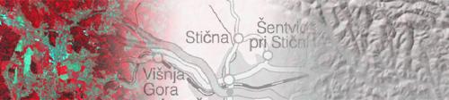
As the first application on the internet GIS server, an Interactive Map of Slovenia was promoted in September 2004. Within this applicaton ZRC SAZU presents 5 databases from 4 institutes to the public. Later on the application was upgraded with new presentations, and further upgrades are being planned. The interactive map was translated into English in May 2005.
The second important application is an internet GIS map functioning as a mapping module of ARKAS System. Cadastre of Archaeological Sites of Slovenia (ARKAS) is a relational database with more than 6000 records. This internet map is an excellent tool for spatial visualisation of sites and other spatial functions (searching, measuring). The application is meant for expert use only and cannot be publicly accessed.